Mara Lange · 2 October 2026
European Photonics Research Fuels Advances in Pollution-Linked Visibility Monitoring Across Cities
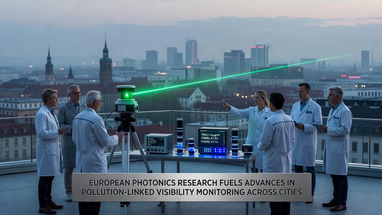
European photonics initiatives have produced sensor networks that measure how airborne pollutants reduce visibility in metropolitan areas, and these systems combine laser-based detection with spectral analysis to track particulate concentrations in real time. Research teams across multiple countries have integrated lidar units with compact spectrometers, and the resulting data streams allow city planners to correlate haze events with specific emission sources such as traffic corridors or industrial zones.
Core Technologies Driving the Monitoring Networks
Photonics platforms rely on pulsed lasers that scatter off aerosol particles, while backscattered light returns to detectors that calculate extinction coefficients; those coefficients translate directly into visibility estimates expressed in kilometers. Engineers have miniaturized the optical assemblies so that units fit inside roadside cabinets, and power consumption has dropped enough to permit solar operation in most climates. Calibration routines now run automatically against reference standards maintained by national metrology institutes, which reduces drift and maintains measurement uncertainty below five percent across seasonal temperature swings.
Multi-wavelength channels distinguish between fine-mode and coarse-mode particles, and algorithms separate scattering from absorption so that black-carbon contributions become visible in the dataset. Several pilot installations in the Rhine-Ruhr region have operated continuously since 2023, and the archived records show clear diurnal patterns tied to morning rush hours and evening heating demand.
Deployment Patterns Across European Cities
Municipal authorities in Barcelona, Milan, and Warsaw have installed arrays of these photonics sensors along major arterial roads, and the units feed live feeds into open data portals that residents can access through municipal apps. In October 2026 the European Environment Agency plans to release a harmonized dataset that merges readings from twenty cities, allowing cross-border comparisons of visibility trends during pollution episodes. The same release will include validation results from co-located reference instruments operated by national weather services.
Researchers at Delft University of Technology have tested drone-mounted versions of the sensors to map vertical profiles above street canyons, and initial flights revealed inversion layers that trap pollutants at heights below two hundred meters. Those profiles help refine dispersion models used by regional environmental agencies when they issue public health alerts.
Data Integration and Policy Applications
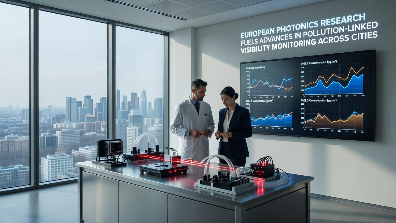
Visibility readings now serve as an additional indicator alongside PM2.5 and nitrogen-dioxide concentrations, and transport departments use the combined metrics to trigger temporary low-emission zones during severe haze episodes. In Stockholm the traffic authority reduced speed limits on the E4 motorway when visibility dropped below one kilometer, and compliance data showed measurable drops in secondary aerosol formation during the controlled periods.
Academic groups have published peer-reviewed studies that link visibility recovery rates to specific policy interventions such as fleet electrification or district heating upgrades. One analysis covering the Paris metropolitan area demonstrated that a twenty-percent reduction in diesel traffic corresponded to an average visibility gain of four hundred meters on weekdays. The study appears in the open-access journal Atmospheric Measurement Techniques and draws on three years of continuous photonics measurements.
Future Expansion and Standardization Efforts
Workshops hosted by Photonics21 in 2025 established draft standards for sensor interoperability, and those drafts are moving through CEN technical committees for formal adoption. Once ratified, the standards will allow data from different manufacturers to merge into a single European visibility index without additional post-processing. Funding calls issued under Horizon Europe continue to support miniaturization projects that aim to cut unit costs by another thirty percent, which would enable denser networks in mid-sized cities that currently lack dedicated monitoring budgets.
International partners in Canada and Australia have expressed interest in adopting the same optical architectures, and joint calibration campaigns are scheduled for early 2027. Those exchanges should accelerate the transfer of European-developed retrieval algorithms to regions that face analogous pollution-visibility challenges during wildfire seasons or winter inversions.
Conclusion
European photonics research has supplied cities with reliable, low-maintenance tools that quantify how pollution degrades visibility, and the resulting datasets support both immediate traffic management decisions and longer-term air-quality strategies. Continued standardization work and cost reductions should extend coverage to additional urban centers, while cross-continental collaborations will test the robustness of the methods under different climatic conditions.