Mara Lange · 16 October 2026
Adaptive Optics Enables Precise Tracking of Coastal Changes from Distant Observatories
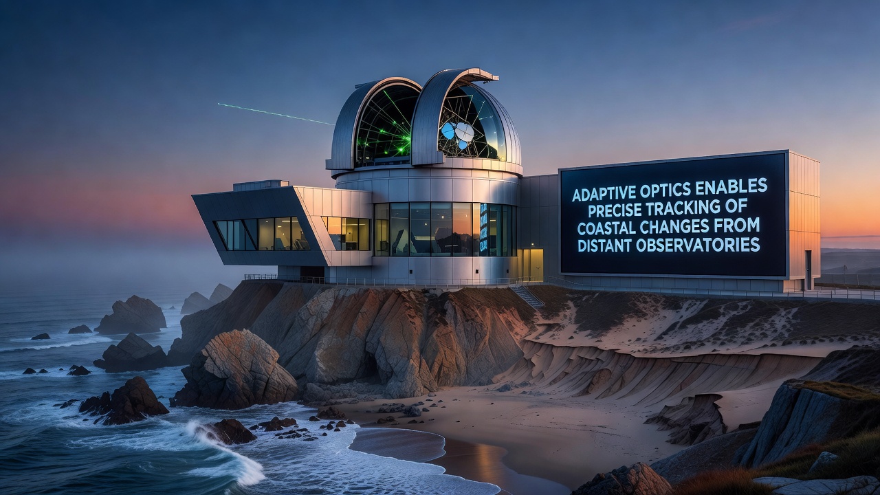
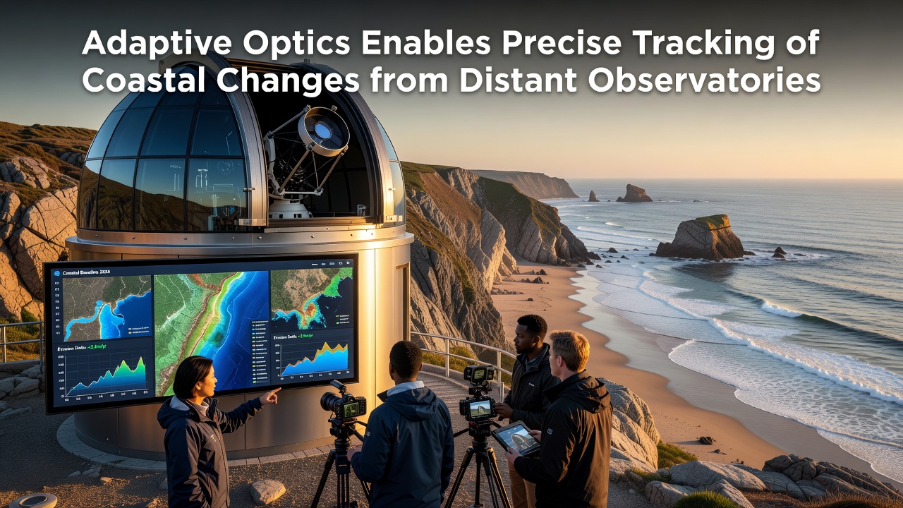
Adaptive optics technology has expanded beyond traditional astronomical applications to support detailed monitoring of coastal environments from remote observatory sites, and researchers now use these systems to correct for atmospheric distortion while capturing sharp images of shorelines that would otherwise appear blurred from great distances. Observatories equipped with adaptive optics can resolve features as small as a few centimeters across distances of several kilometers, which allows consistent tracking of erosion, sediment movement, and vegetation shifts along coastlines without requiring close-range aircraft or satellite passes for every measurement.
How Adaptive Optics Corrects Atmospheric Interference
Atmospheric turbulence scatters light waves as they travel from the Earth's surface to elevated observatories, yet adaptive optics systems employ deformable mirrors and wavefront sensors to measure and counteract these distortions in real time. The mirrors adjust their shape hundreds of times per second, which restores clarity to incoming light and produces images comparable to those taken from much closer vantage points. Data collected through these corrected views reveal subtle changes in beach profiles and cliff faces that accumulate over months or years, and studies conducted at multiple sites show measurement precision within 5 centimeters when compared against ground-based surveys.
Applications in Long-Term Coastal Monitoring
Coastal research teams integrate adaptive optics data with existing satellite records to build continuous time series of shoreline positions, and this combination fills gaps left by cloudy weather or infrequent satellite revisits. Observatories located tens of kilometers inland now contribute regular observations of specific beaches and estuaries, while the same instruments track wave run-up heights during storms to assess flood risk. In October 2026 several European and North American facilities plan synchronized observation campaigns that will test multi-site data fusion methods for regional erosion models, and preliminary simulations indicate these campaigns could improve prediction accuracy for sediment transport by up to 30 percent.
Technical Integration with Existing Observatory Infrastructure
Many large telescopes already maintain adaptive optics benches originally designed for star observations, and engineers have modified these systems to lock onto artificial guide stars or bright coastal landmarks instead. Laser guide stars projected above the observatory create reference points that allow continuous correction even when natural stars are unavailable during daylight hours, and this modification extends usable observation time from nighttime only to full 24-hour cycles when needed. Calibration routines developed for astronomical work transfer directly to terrestrial targets, though additional algorithms compensate for ground-level heat shimmer and aerosol scattering that differ from upper-atmosphere turbulence.
Comparative Data from Multiple Regions
Facilities in California and along the Baltic Sea have reported consistent detection of annual shoreline retreat rates between 0.8 and 2.3 meters depending on local geology and wave exposure, and these figures align closely with independent lidar surveys conducted by national agencies. Australian observatories have begun similar programs that focus on mangrove boundary migration, while Canadian teams apply the technique to monitor permafrost thaw effects on Arctic coastlines. Each site shares standardized data formats through international networks, which enables cross-comparison of measurement techniques and validation of regional models against one another.
Future Developments and Data Accessibility
Next-generation wavefront sensors under development promise faster correction speeds and greater sensitivity to low-contrast coastal features, and these upgrades should reduce the minimum observable feature size to under two centimeters. Public data portals operated by participating observatories already release processed image sets on monthly schedules, and users can overlay these records with tide gauge readings or precipitation data from meteorological services. Collaboration between optics engineers and coastal geologists continues to refine target selection criteria so that the most dynamic sections of shoreline receive priority observation time.
Conclusion
Adaptive optics now provides a stable platform for repeated high-resolution coastal observations from fixed inland locations, and the resulting datasets complement satellite and field measurements to produce more complete records of shoreline evolution. Continued refinement of correction algorithms and expansion of observatory networks will likely increase both spatial coverage and temporal resolution of these measurements in coming years.